Spatial Impact
Spatial Impact was founded with a clear mission: to make non-destructive monitoring methods accessible to more people.
We provide continuous data flows through remote sensing, using satellites and ground-based sensors. We help detect potential damage early, preventing costly accidents.
Our strength lies in making complex geospatial data understandable and useful in order to empower decisions through user-friendly visualization.
Services
We offer comprehensive solutions for analysis and monitoring through remote sensing.
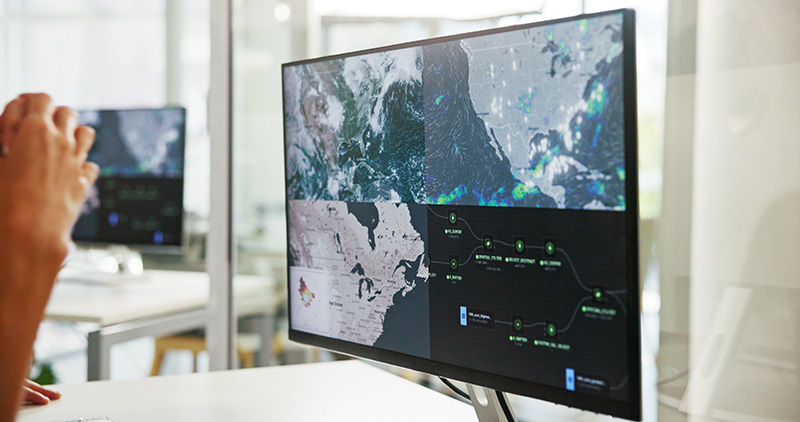
Monitoring systems
Satellites provide a continuous flow of data, ideal for monitoring infrastructure and the environment. In addition, we install sensors on-site for real-time monitoring.
Data analysis
We specialize in GIS and remote sensing, focusing on localization, connectivity, accessibility, and climate-related analysis, with recognized expertise in dam safety.
Data visualization
Visualization is key to making data understandable and usable. It allows results to be effectively communicated and supports informed decision-making.
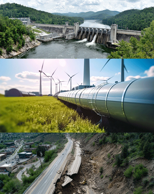
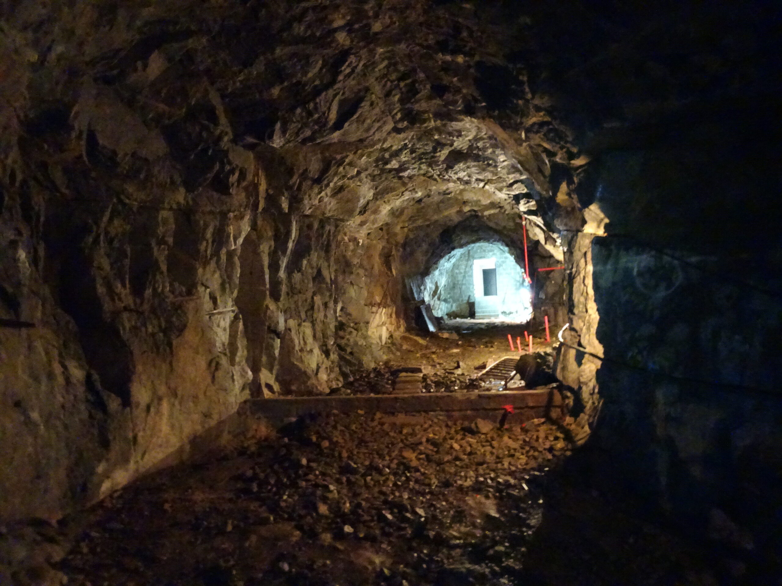
Monitoring Infrastructure
Monitoring infrastructure is crucial for ensuring safety and reliability. By continuously collecting and analysing data with non-destructive methods, we can identify potential risks and weaknesses at an early stage. This proactive approach prevents accidents, minimises costly downtime, and enables timely maintenance decisions.
Monitoring
Nature
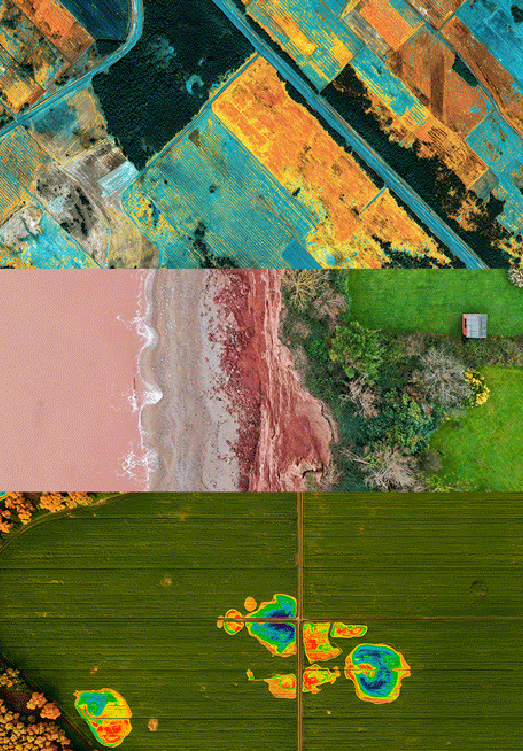
Monitoring nature with remote sensing provides valuable insights into environmental changes over time.
Using satellite data; ecosystems, vegetation, water resources and land use can be observed continuously and non-invasively.
This approach supports sustainable maintenance, detects early signs of change and provides a scientific basis for protecting biodiversity and natural resources.
Why Choose Us
With deep expertise in remote sensing, we deliver future-proof data that meets established standards, ready to support decisions today and tomorrow.
Future-proofed delivery
We deliver data of the highest standards-reliable today and ready for tomorrow.
Personal service
We provide personal service and take pride in helping our clients find the best solutions for analysis and monitoring.
Tailored solutions
Whether it’s a single analysis, uncovering patterns from the past, or monitoring for the future, we deliver the insights you need.
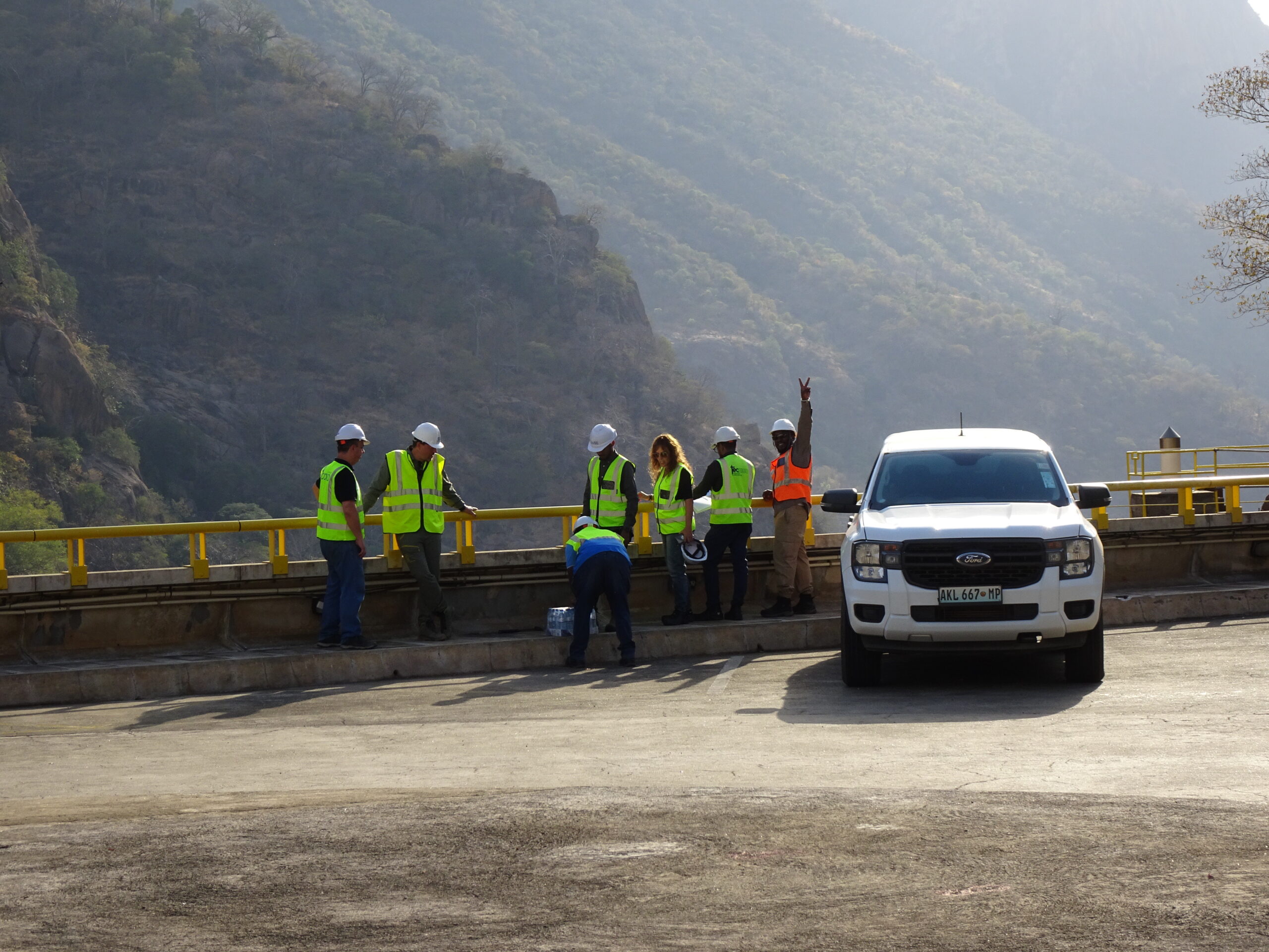
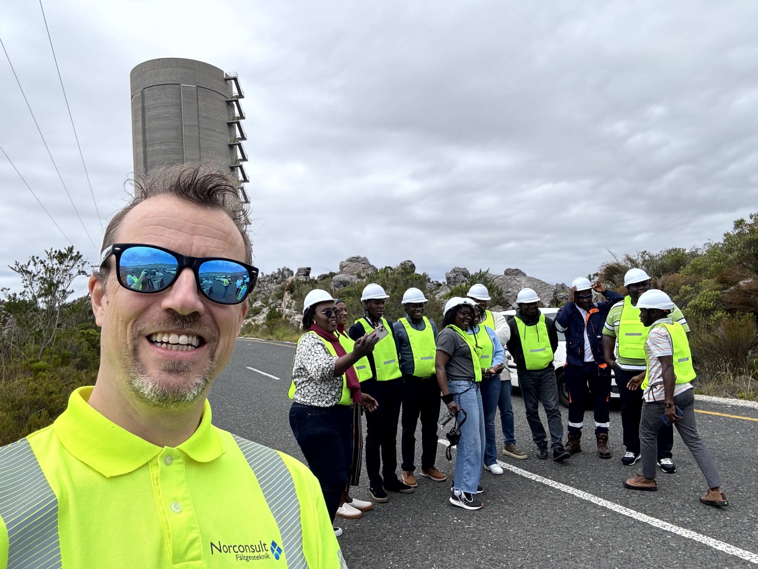
Our Projects
We help a global client base across Europe, Africa, and Oceania, with experience working in diverse climates and cultures.

Let’s bring your vision to life.
Explore our services and get in touch today for a consultation. Together, we’ll make it happen.
Øyvind Lier
CEO & founder
oyvind@siks.se
Varberg