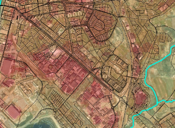
Remote Sensing and GIS
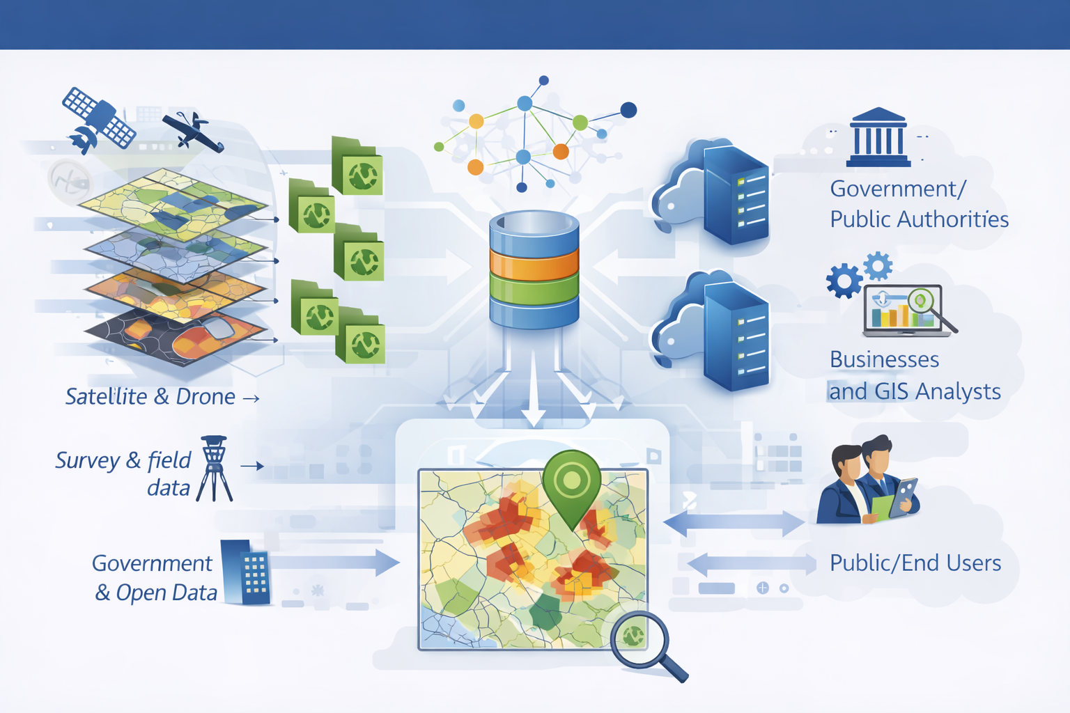
Our team combines deep expertise in GIS, remote sensing, and geospatial data analysis with strong technical and analytical skills. We work with satellite data, point clouds, and spatial modeling to deliver clear, reliable insights and practical decision support. By turning complex geospatial information into accessible solutions, we help clients better understand change, risk, and development over time.
Climate Analysis
Using GIS and remote sensing, we perform climate analyses that support planning, risk management and adaptation measures. We analyze phenomena such as urban heat islands, flooding and coastline change at scales ranging from entire urban areas to specific addresses or properties. Our analyses provide decision-ready insights for municipalities and landowners supporting climate-resilient development, asset management and long-term planning.
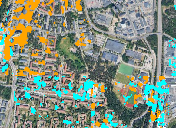
Monitoring Change
We use satellite data to monitor and analyze changes over time across large areas and at high temporal frequency. Our services include detecting newly constructed buildings to support city map updates, identifying forest areas affected by storms, and tracking other land-use and land-cover changes.
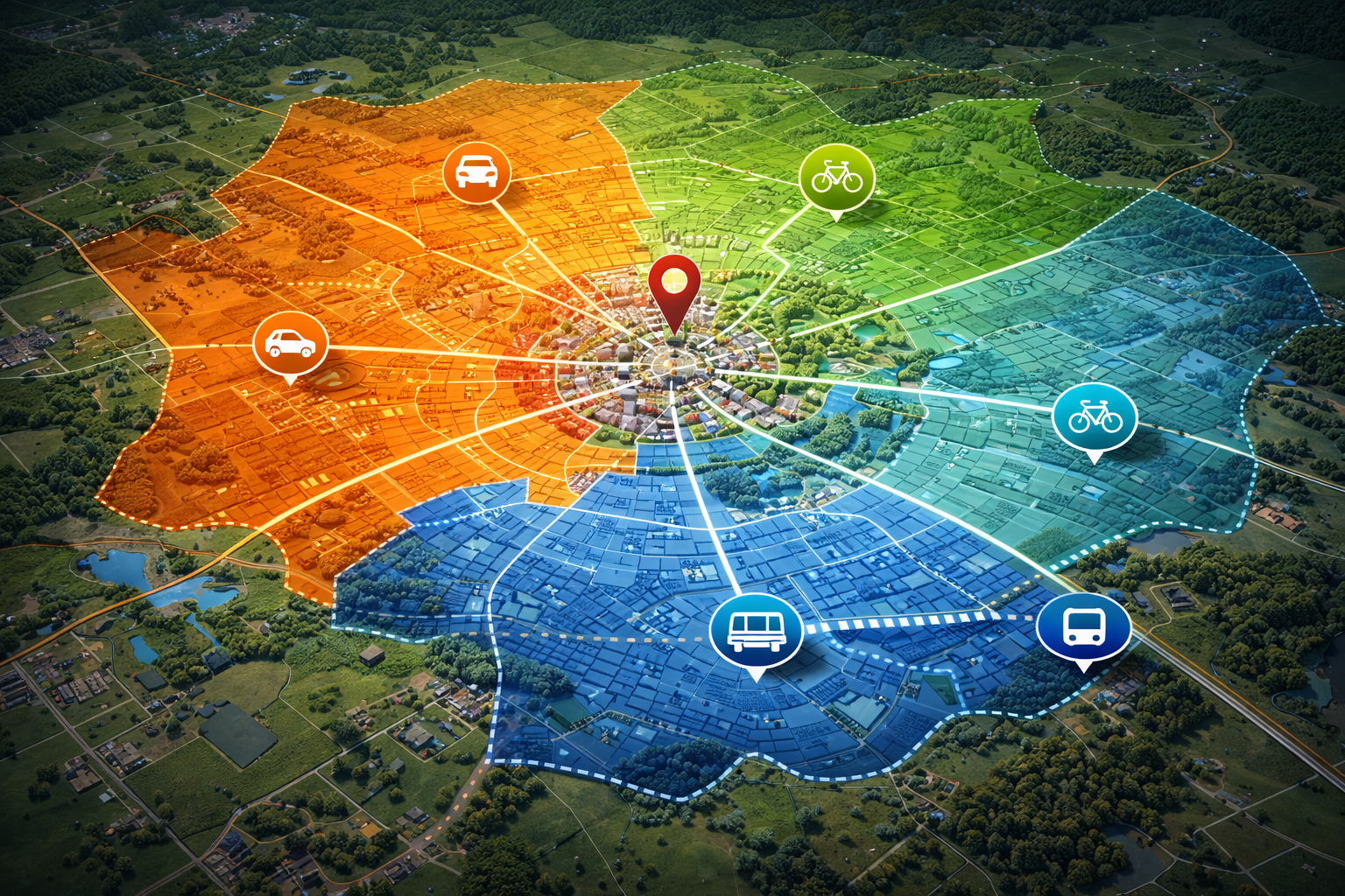
Network Analysis
We provide a range of network analysis services to support a deeper understanding of critical networks. Our analyses help identify the fastest routes, assess accessibility across areas, highlight opportunities for improvement, and locate important habitats within the network.
Digital Twin
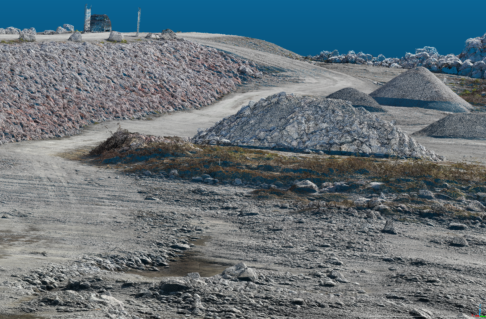
We create digital twins of cities using high-resolution point clouds and photogrammetry, delivering detailed and realistic 3D representations of the built environment. These digital twins can be used for simulations, scenario analysis, and risk assessments, helping stakeholders better understand how hazards may impact specific areas. By providing a realistic and spatially accurate view, our digital twins support clearer communication, improved planning, and more informed decision-making.
Multicriteria Analysis
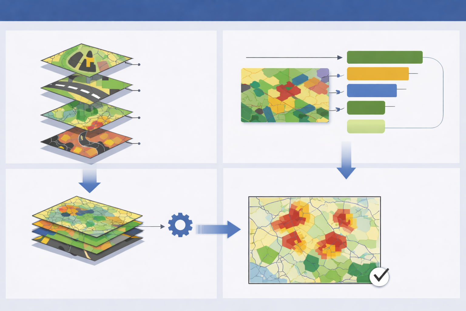
We perform multicriteria spatial analyses to identify the most suitable locations for new buildings, industrial areas, and other developments. By combining multiple datasets such as land use, environmental constraints, risk factors, and accessibility, we support informed decisions on optimal locations for infrastructure such as roads and power grids. Our analyses provide transparent, data-driven support for strategic planning and sustainable development.
Data Coordination Support
We offer data coordination support, ensuring structured, high-quality datasets that enable effective analysis, collaboration, and decision-making.
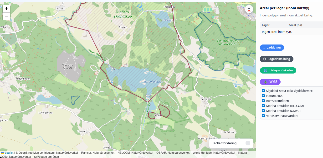
Webapplication and Interactive Maps
We create web-based GIS applications and interactive maps that turn spatial data into accessible, user-friendly tools. These solutions support data exploration, monitoring, and communication for municipalities, infrastructure owners and project organizations.